In September, project partner University of Brighton (UoB) started their design research and consultancy with follower city Sant Feliu de Llobregat. Aim of the work is to support the local council in its efforts to integrate ECSs and productive urban landscapes into the spatial and organisational fabric and the everyday life of the city.
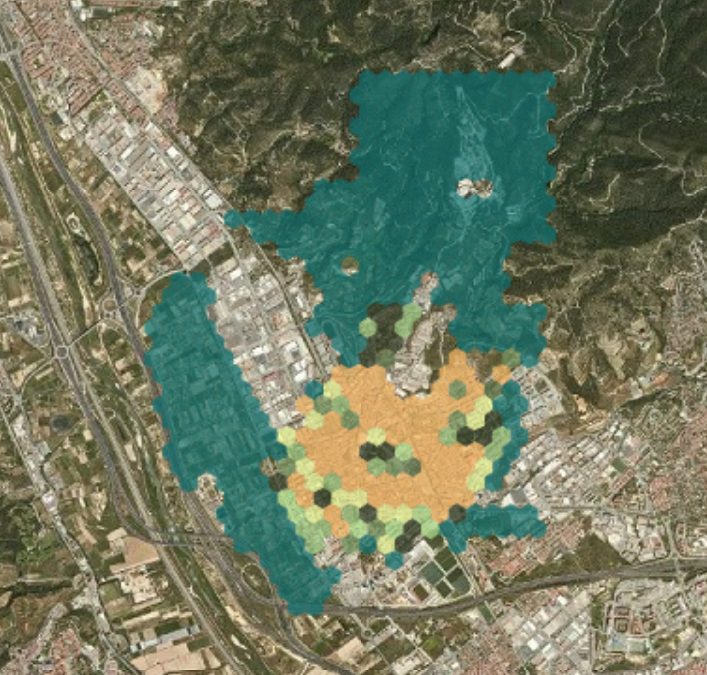
The collaboration with the local council, local agroecological cooperative Arran de Terra and Barcelonabased research institute ICRA, all EdiCitNet project partners, is part of the work package 4 food masterplanning overseen by BOKU University Vienna. Within the next year, we aim to co-develop with the local community a series of maps as a tool to identify strategies for urban food planning as well as a method to capture, systematise and visualise those strategies.
Supported by the local city team, we have learned that Sant Feliu de Llobregat and its municipal area are located on the left bank of the Llobregat river valley, where it coincides with the Baix Llobregat Agricultural Park, shared by 14 municipalities. It also borders the Collserola Natural Park, which is an area of natural interest, shared by nine municipalities. Both the Llobregat Agricultural Park and Collserola have significant agricultural activity. This is of great interest as strong, multiple linkages between the urban and rural are a widely recognised advantage when (re)defining the role of food within urban development. At the same time, there exists an increasing number of inner-urban food system and food policy activities in Sant Feliu de Llobregat that we aim to map as part of the 3-stage food opportunity mapping process.


